As a small team with over 20 years of combined experience we continue to provide our clients with the ultimate service in the field of ecological modeling, application of mathematical and numerical methods in data analytics, software development and database architecture.
MultiOne is a member of Cooperative Zadruga Granum Salis for research, planning and design in sustainable environmental management.

Efficient practical application of statistical methods, including machine learning, on real-world problems, with an emphasis on environmental and satellite data / application of geoinformatics / application of multivariate statistics
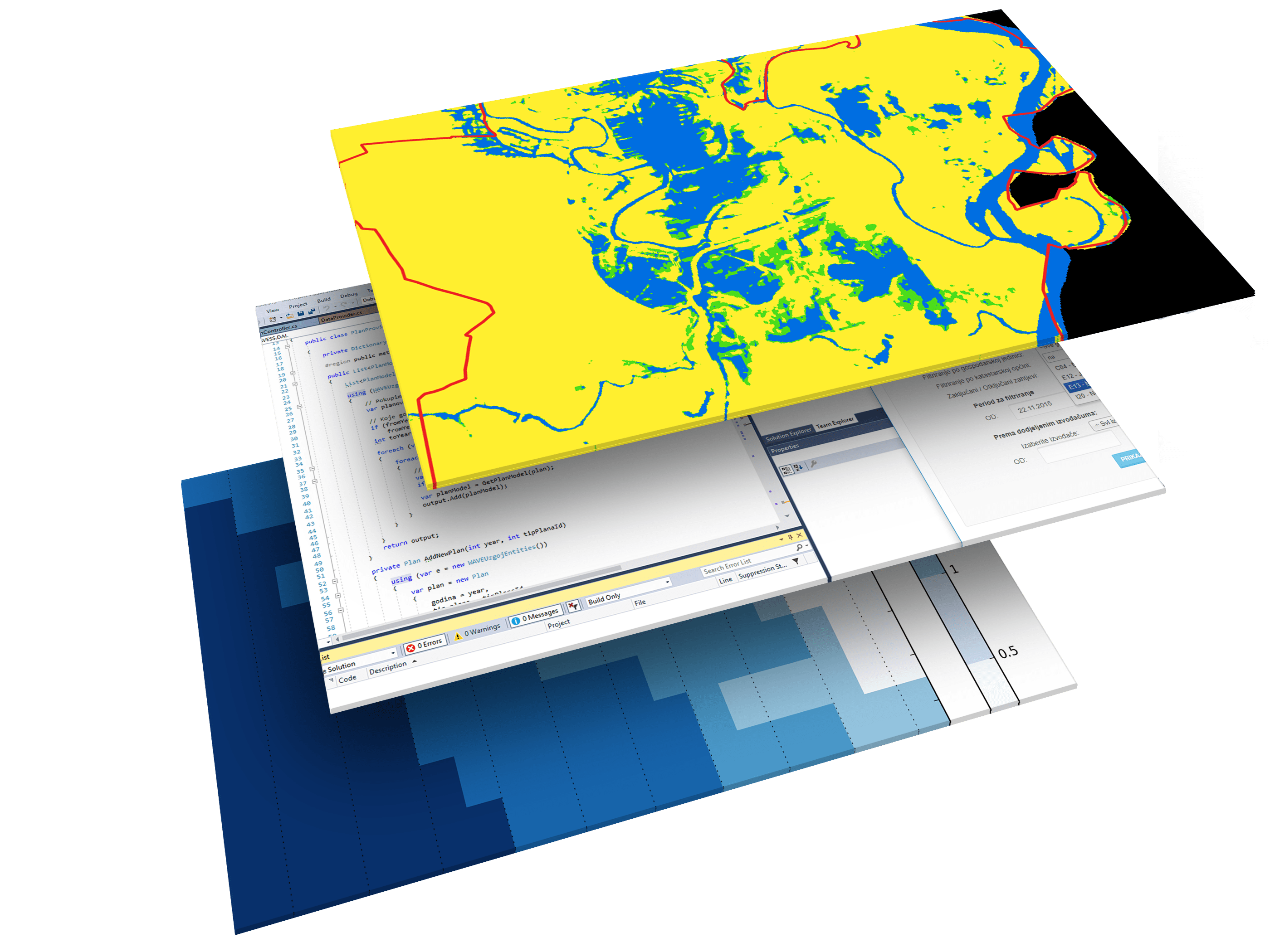
Expert utilisation of the open source GIS ecosystem, in the implementation of innovative solutions for geospatial problems
Using 3D numerical models and development of modeling solutions in geophysics, hydrology, ecology, geomatics, among other fields
Design and development of user-facing solutions for specific client needs, on a wide array of platforms


CLIENT: The World Bank Group
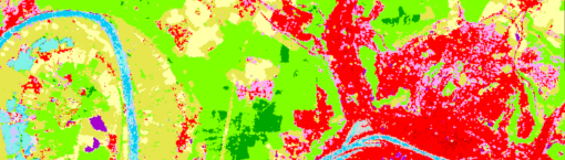
ROLE: Modeling and prediction of soil properties in 30m resolution across Croatia with the use of machine learning

CLIENT: Croatian Agricultural and Forestry Advisory Service
ROLE: Database architecture and reporting, web development

CLIENT: EnvirometriX Ltd.
ROLE: Continental-scale mosaicking of Sentinel-2 imagery across Africa in 30m resolution; thematic data aggregation; accuracy assessment and quality control of the PSM method
FUNDING: 2018 CEF Telecom Call – Public Open Data (CEF-TC-2018-5)
ROLE: FOSS GIS development; continental-scale Sentinel-2 imagery mosaicking; development of novel predictive land cover maping methods

